Let's go
Hoher Sattel: almost an insider tip for tobogganing
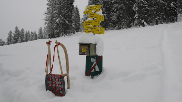

On the toboggan run from Hoher Sattel between Leutasch and Scharnitz, you can still enjoy a little mountain solitude. The option to travel to the Seefeld plateau on the spectacular Karwendel cable car gives the hike even more added value.
 Kronen Zeitung als bevorzugte Google-Quelle hinzufügen
 We travel to Leutasch and there to the district of Ahrn (north of Weidach). At the "Ahrnerhof" the "Hohe Sattel" is already signposted for the first time, here we now head east to the large parking lot on the right after the bridge.
Now follow the road that leads up as an extension of the bridge. At a fork in the route, keep left as this is where the "Hoher Sattel natural toboggan run" officially begins.
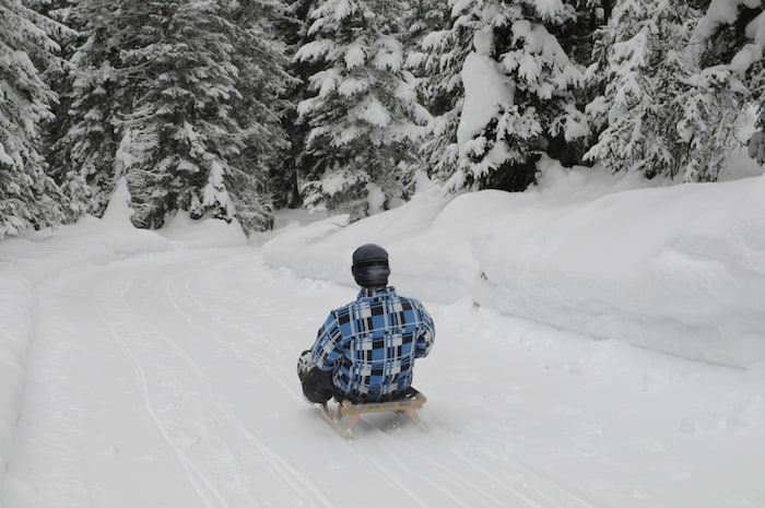
For the most part, it leads upwards through the Satteltal valley at a pleasant gradient. Anyone expecting major changes in direction will probably be a little disappointed, as the run contains only a few bends. It more or less meanders upwards with many straight sections. There is only one - the only - left-right combination at just under 1400 meters.
After just under an hour and a half, we reach the "Hohe Sattel" (1495 m) below the Arnplattenspitze. This is more or less the transition from Leutasch to Scharnitz. The only drawback here: It is not possible to stop for refreshments, as there is neither a hut nor a mountain inn. However, there is plenty of space on the gentle saddle to enjoy the snacks you have brought with you.
Facts and figures
- Valley town: Leutasch/Ahrn (1094 m)
- Starting point: Paid parking lot in the Leutasch district of Ahrn (approx. 1100 m)
- Route: road, toboggan run
- Equipment: toboggan, sturdy shoes (possibly special brake shoes), helmet
- Requirements: basic level of fitness
- Children: from baby age
- Tobogganing: yes, toboggan run is regularly groomed according to the tourist office
- Refreshments: none available in the area of the toboggan run
- Arrival by public transport: Karwendelbahn from Innsbruck to Seefeld, bus from Seefeld to Leutasch/Ahrn; a few minutes' walk to the starting point
- Difference in altitude: around 400 meters (starting point: - Hoher Sattel)
- Length: around 3 kilometers (starting point - Hoher Sattel)
- Walking time: around 1 1/2 hours (starting point - Hoher Sattel)
Perhaps the lack of a hut is one reason why there are usually no crowds of people up here. To the east below us is the border town of Scharnitz.
The snow conditions were good in the middle of the week, so nothing stands in the way of tobogganing fun for young and old.
This article has been automatically translated,
read the original article here.











Da dieser Artikel älter als 18 Monate ist, ist zum jetzigen Zeitpunkt kein Kommentieren mehr möglich.
Wir laden Sie ein, bei einer aktuelleren themenrelevanten Story mitzudiskutieren: Themenübersicht.
Bei Fragen können Sie sich gern an das Community-Team per Mail an forum@krone.at wenden.