Hiking in Styria
Winter hiking on the balcony to the Gesäuse
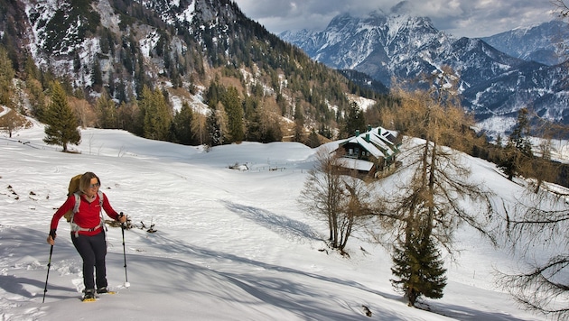

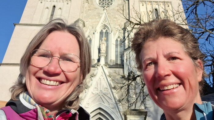
A tour at the end of winter in the Gesäuse National Park region: this time we accompany the two "Krone" hiking experts Elisabeth Zienitzer and Silvia Sarcletti from the Buchacher Sattel via the Grabneralm to the Admonter Haus.
 Kronen Zeitung als bevorzugte Google-Quelle hinzufügen
 Now is the ideal time for all winter sports enthusiasts who would like to experience a spring-like hike in the snow. Even though snowshoes sometimes have to be carried on a rucksack and snowshoes are part of the basic equipment, hiking in the wintry mountain landscape remains a special treat.
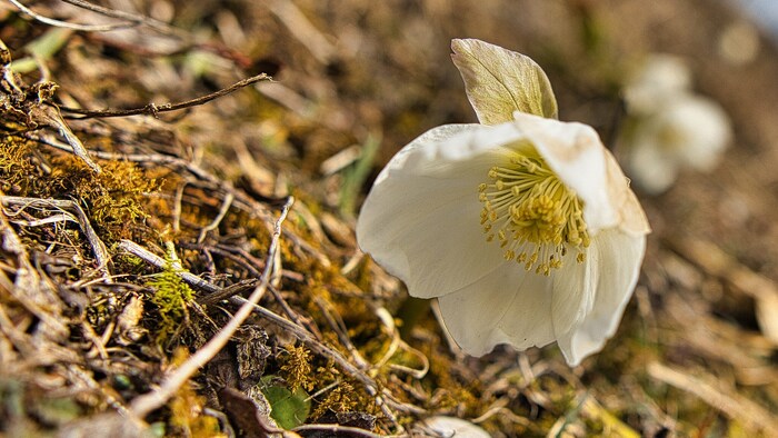
This time we explore part of the eastern Haller Mauern, which are part of the scenically impressive Ennstal Alps (Styrian Limestone Alps).
The Grabneralm is already a worthwhile destination, but if you continue to the Admonter Haus, you will be rewarded with an impressive backdrop and a magnificent view of Admont.
Conclusion: enjoy the spring snow to the full high above Admont.

We start on the Buchauer Sattel (861 m) at the paid parking lot. A large overview board provides information about the hiking area of the eastern Haller Mauern.
Right next to the building there are yellow signposts showing us the way to the Grabneralm and the Admonter Haus (trail no. 636). We climb comfortably across a meadow until we reach the edge of the forest and the start of the hiking trail.
Now we follow the marked path, which leads steadily uphill on a forest road. The higher we get, the sparser the forest becomes and finally we reach the alpine pasture area around the Grabneralmhaus (at 1395 m). Behind the hut, the path becomes steeper and leads us across alpine pastures to the northwest.
Data & facts
- Hiking data: 10 km/ 860 m/ walking time approx. 5 h.
- Requirements: relatively easy up to the Grabneralm, then challenging terrain; GPX track advantageous, even if there are mostly tracks.
- Starting point: paid parking lot at Buchauer Sattel; approx. 8 km from Admont; public transport: from Admont take bus 910 to the Buchau Sattel stop.
- Refreshment stops: none during the hike; several in Admont.
- Questions and suggestions: WEGES - Silvia and Elisabeth, office@weg-es.at, weg-es.at; Facebook, Instagram and YouTube: wegesaktiv.
We hike below the striking Admonter Warte (1805 m). After a final, somewhat more challenging ascent, we reach the Admonter Haus (1724 m) on the Grabnertörl.
For the way back, we follow the ascent route.
This article has been automatically translated,
read the original article here.










Da dieser Artikel älter als 18 Monate ist, ist zum jetzigen Zeitpunkt kein Kommentieren mehr möglich.
Wir laden Sie ein, bei einer aktuelleren themenrelevanten Story mitzudiskutieren: Themenübersicht.
Bei Fragen können Sie sich gern an das Community-Team per Mail an forum@krone.at wenden.